kinda blurred..mas ok sana kung naka-vector yan.pag sa presentations naman, i save it as a placeable wmf file.
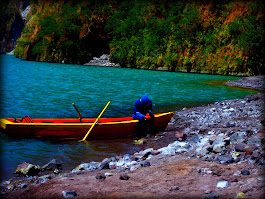
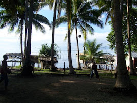
the data on this map shows pala ung project sites namin based on the year when they were established.
does it make sense? or do you have suggestions on how i can best present this data?
the first image is the map of tawi-tawi, while the second one is mainland basilan.
Discover the Serenity of Lake Mapanuepe: A Nature Escape in San Marcelino,
Zambales
-
Nature’s resilience shines at Lake Mapanuepe, a serene haven nestled amidst
the remnants of Mt Pinatubo’s tumultuous eruption in 1991. Despite its
tragic...